The Upper Flint River in Meriwether County stretches for about 28 miles from North to South, presenting a scenic panorama filled with rare plant and animal species and breathtaking views of towering mountain ranges.
From North to South, here are Google Map links the four Entry/Exit points for the Flint River Water Trail in Meriwether County:
Entry and Exit Points
Entry/Exit Point #1 – Near Mile Marker 290
Location: Joe Kurtz Boat Ramp
Entry/Exit Point #2 – Near Mile Marker 277
Location: Near the Intersection of Woodbury Road and River Cove Road
Entry/Exit Point #3 – Near Mile Marker 274
Location: Near Cane Creek and Dripping Rock Road
Entry/Exit Point #4 – Near Mile Marker 267
Location: Sprewell Bluff/Old Alabama Road
Map

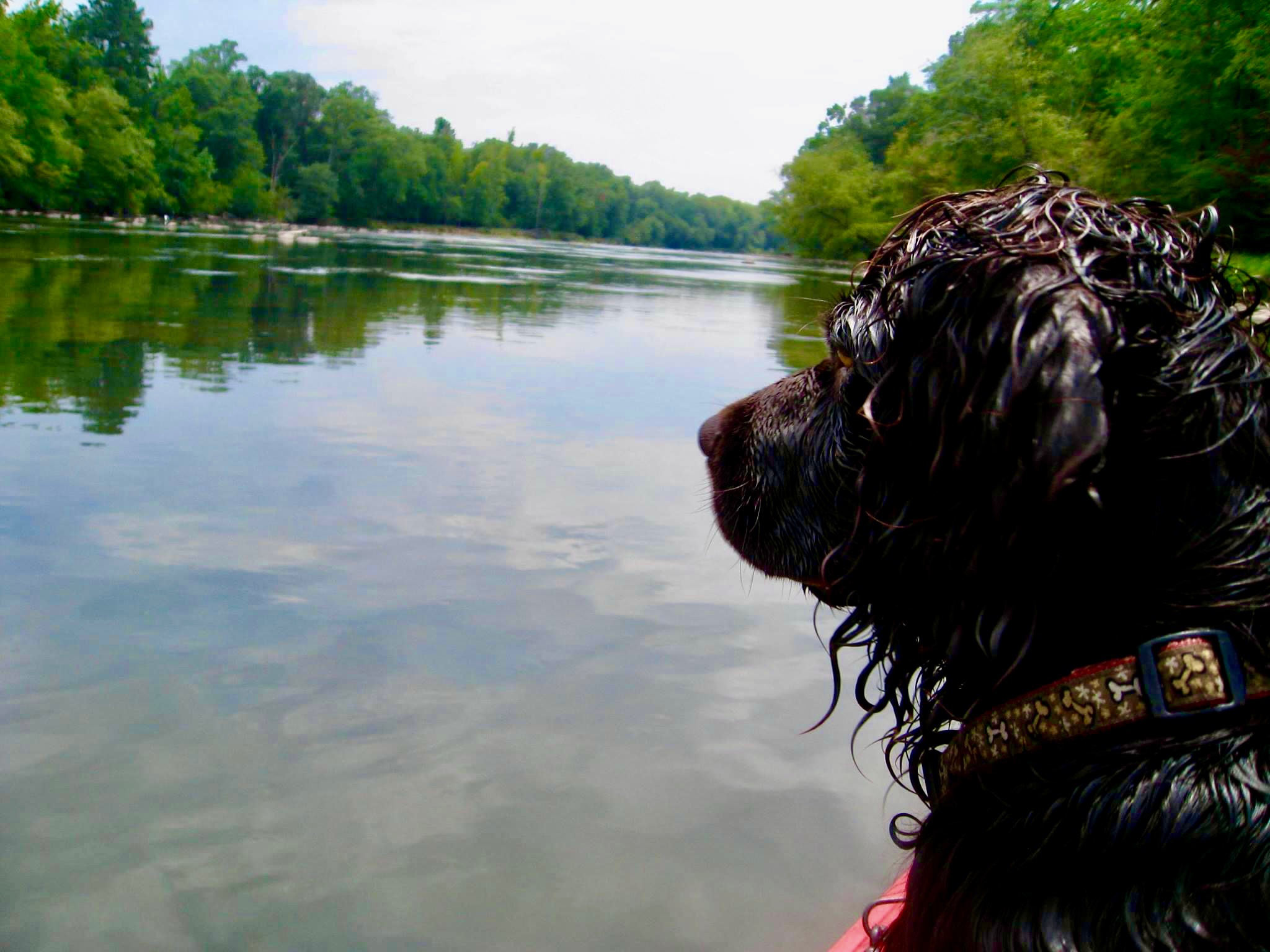
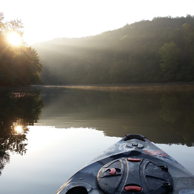
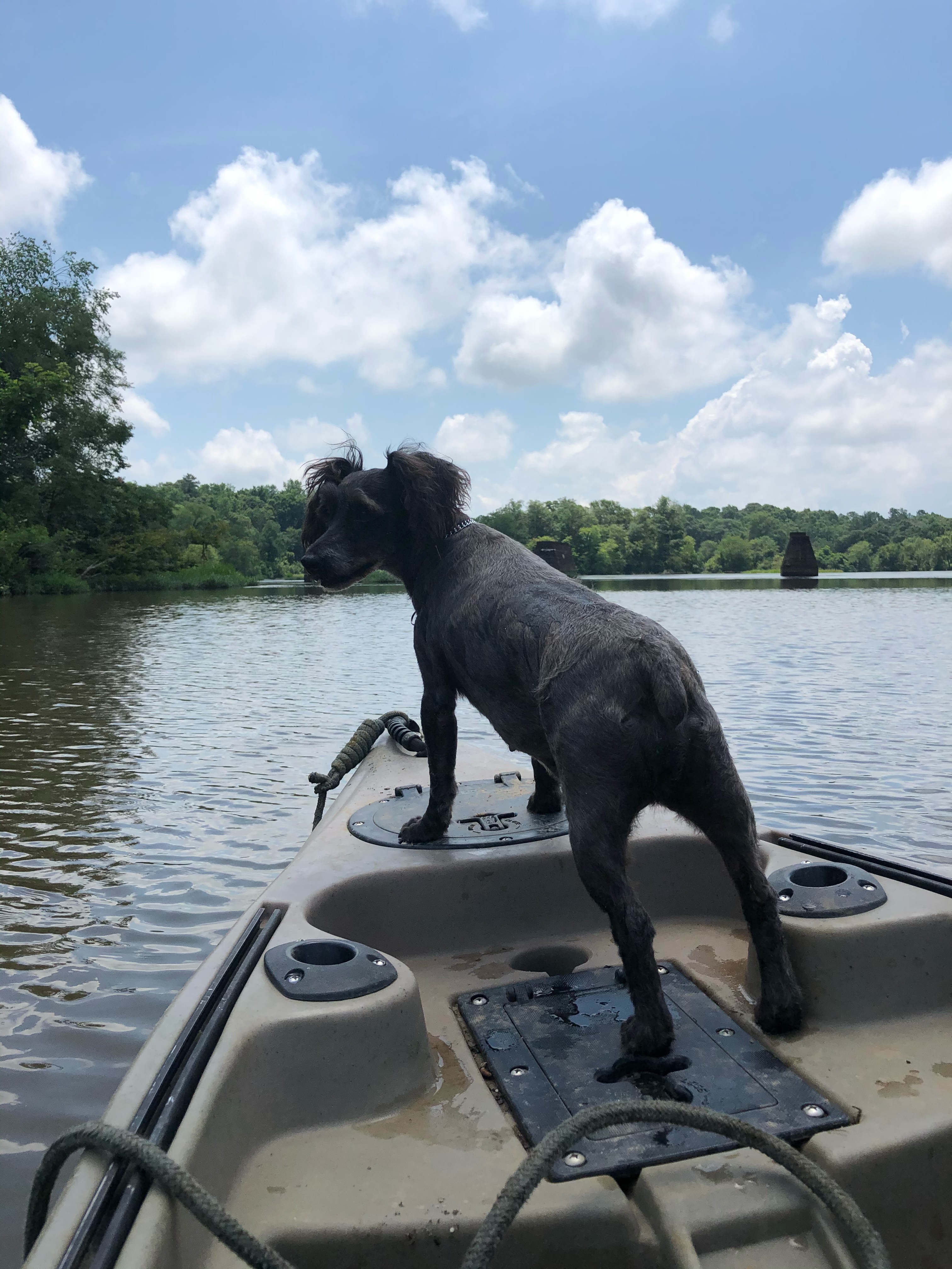
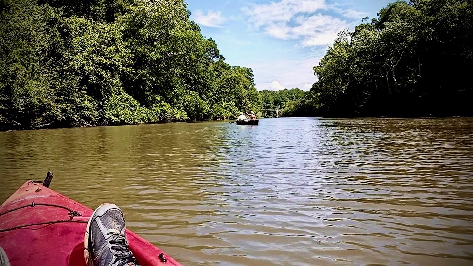
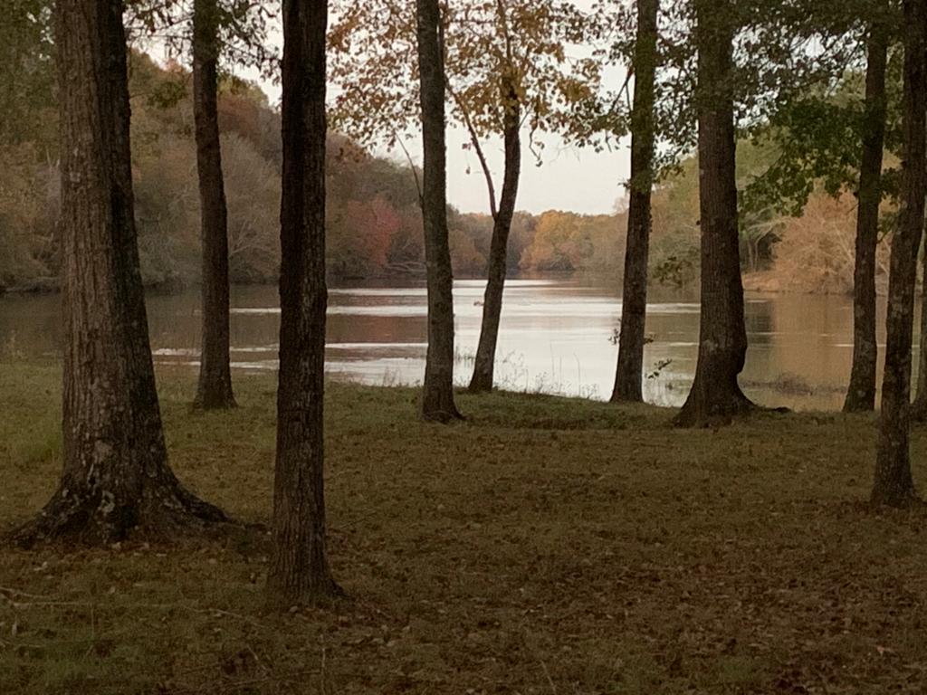
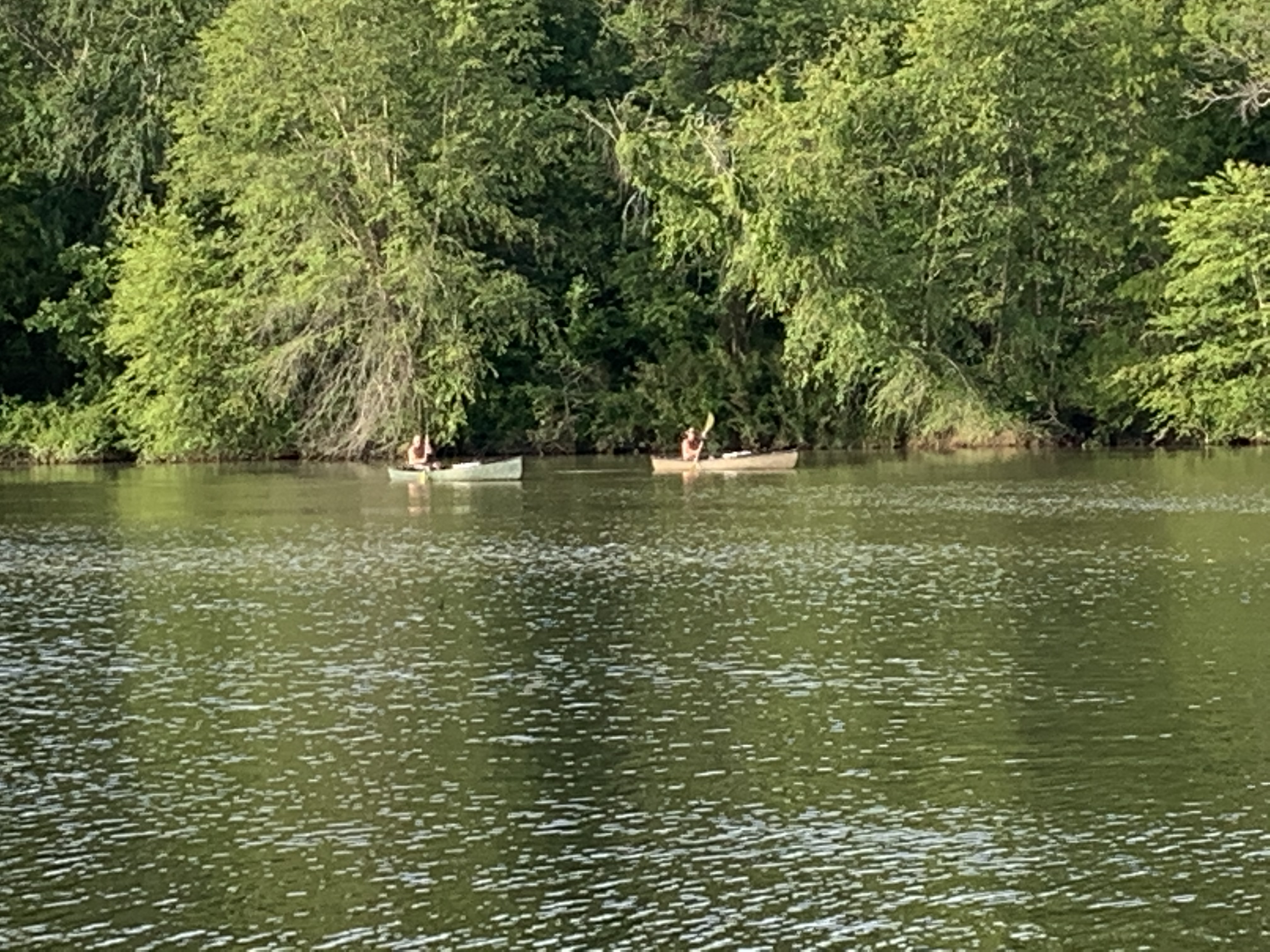
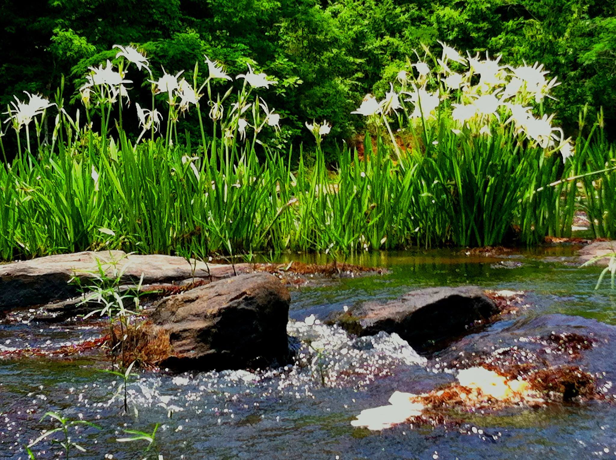
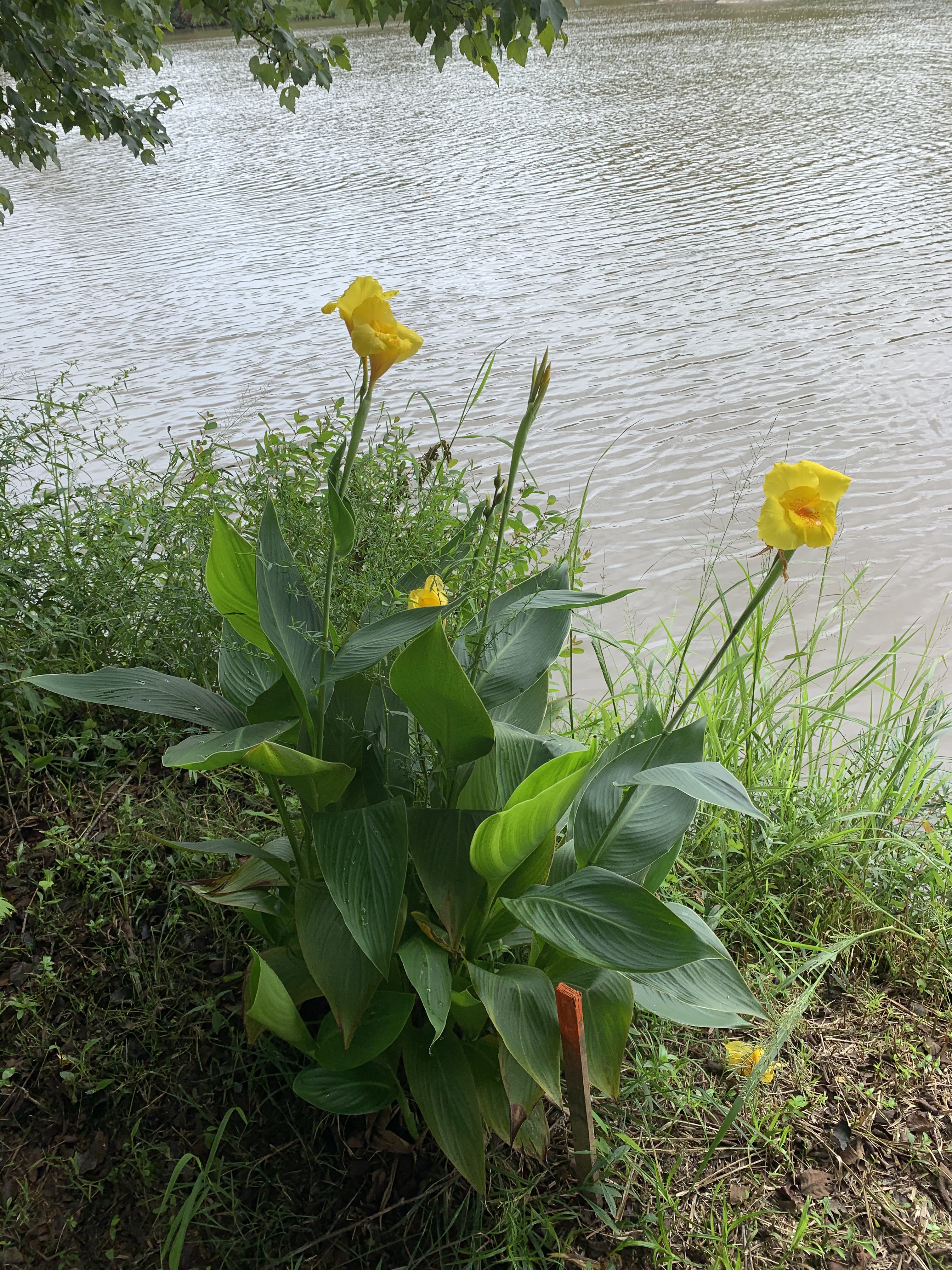
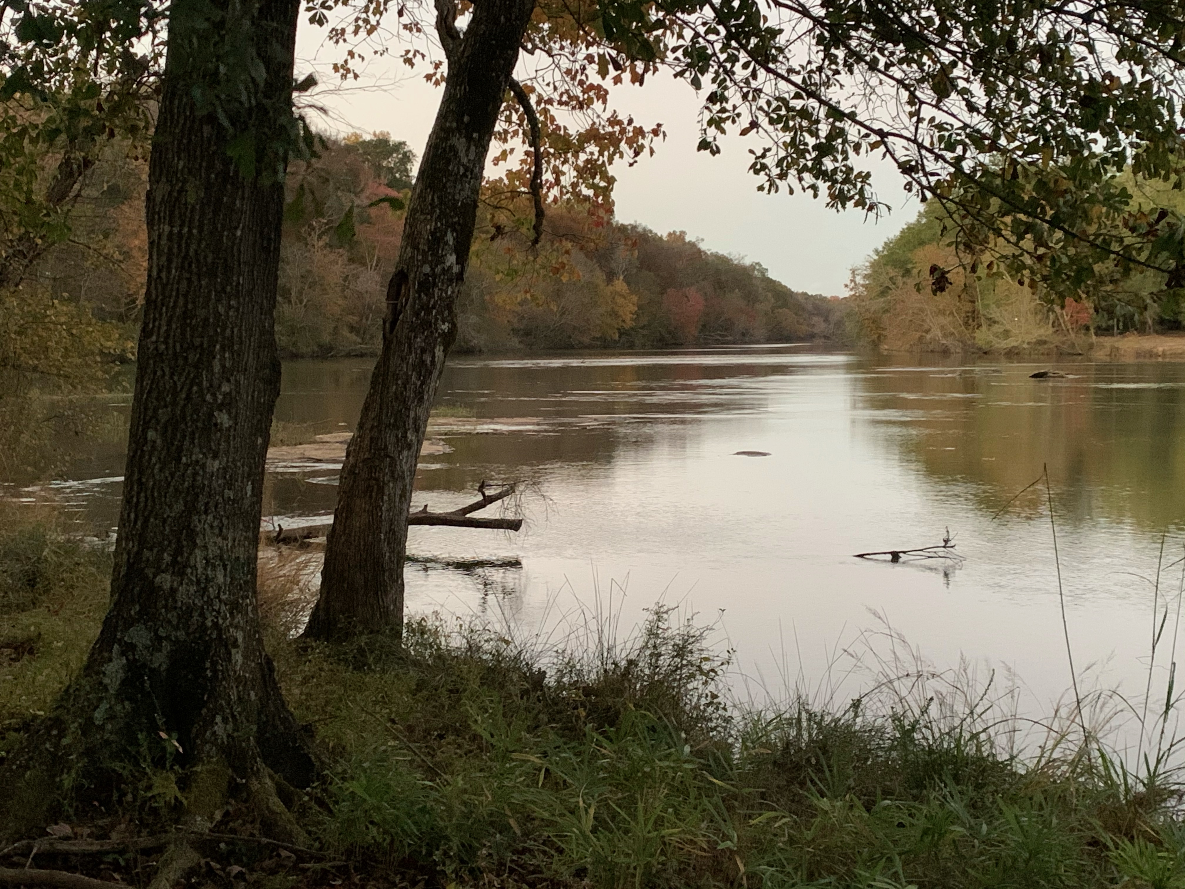
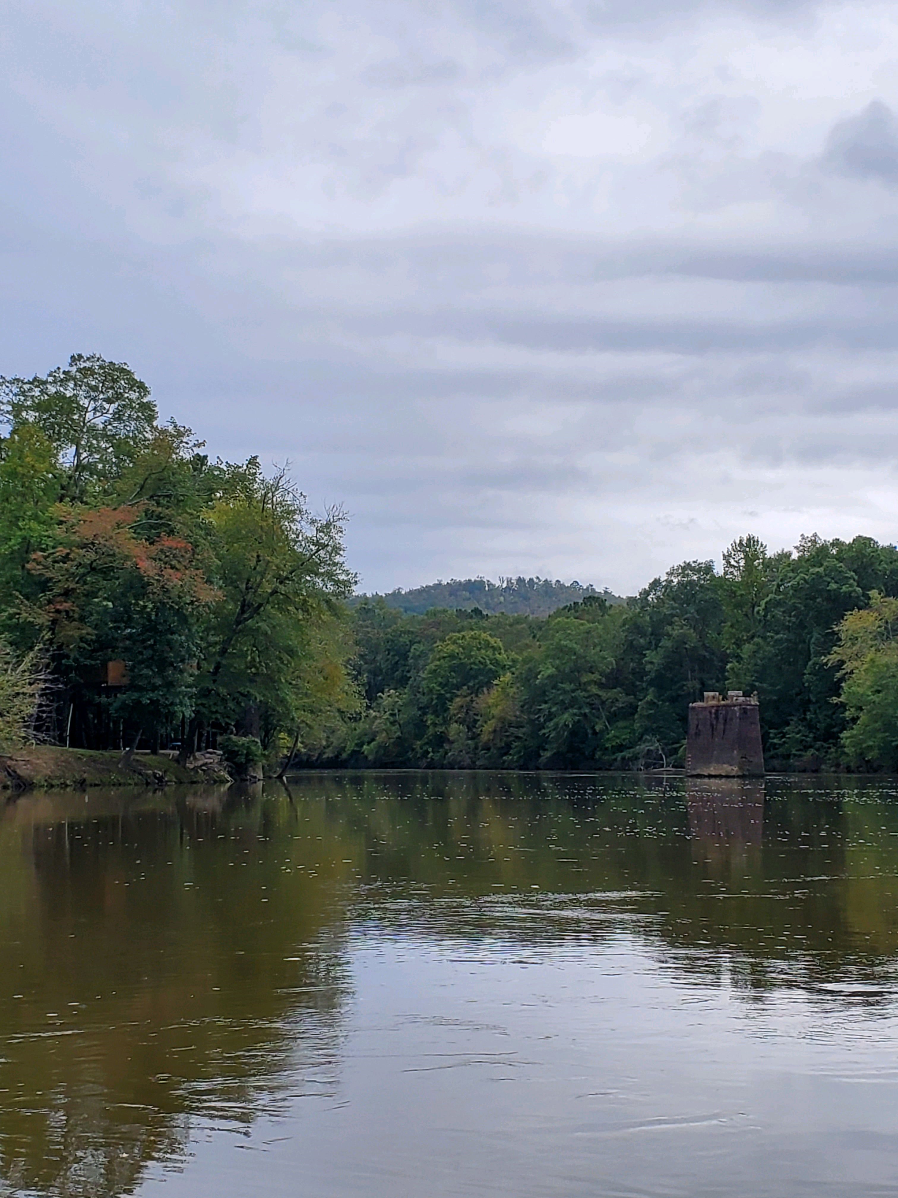
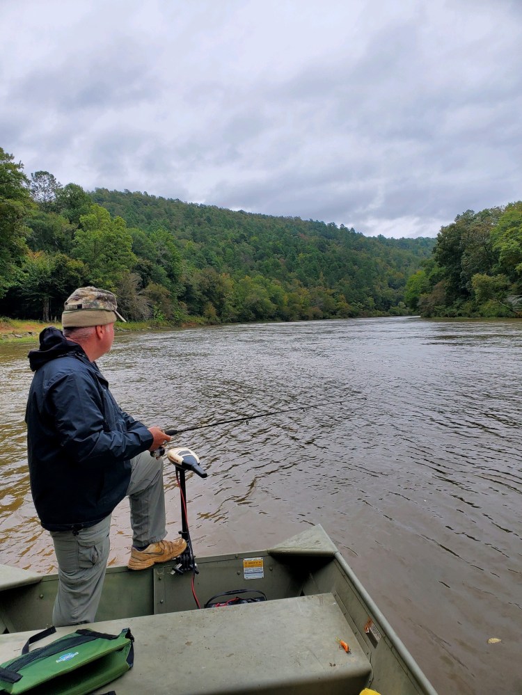
Gallery
The gallery of images below is just a glimpse of the beauty you can experience on the Flint River Water Trail in Meriwether County. Special thanks to all everyone in our community who contributed these gorgeous photos!