The Flint River Water Trail
Experience the Beauty In Meriwether County and Upson County, GA
What is the Flint River Water Trail?
The Flint River flows 346 miles through Georgia from north of the Atlanta Airport to the southwest corner of the state where it joins the Chattahoochee River at Lake Seminole to form the Apalachicola River, which crosses the Florida panhandle to the Gulf of Mexico.
In Meriwether County, the Upper Flint River flows approximately 28 miles from North to South and offers some of the most scenic beauty, rare plant and animal species, with open vistas of soaring mountain ranges.
Wondering what the water level is on the river today? You can check today’s water level meter reader near Thomaston, GA.
Some of the notable sections of the Flint River in Meriwether County include:
The Sea – a wide area in which the Flint becomes a near circular lake of about 35 feet at deepest point.
Flat Shoals – huge rocks over a large spread of 200 feet wide, with water dancing and swirling over and under, making it tricky for kayakers, excellent for anglers (President Roosevelt fished here), and engaging for the photographer.
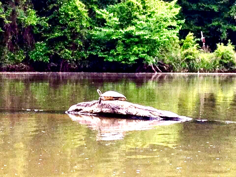
Magical Waterway – ideal stretch of the river for paddlers, fishermen, and nature lovers. A wide assortment of river life can be seen along this path: deer along the banks, turtles sunning, variety of birds overhead, wildflowers, and hardwoods, and huge boulders hiding in the water.
Hwy 18 Bridge Public Boat Ramp – a great launch for up or down stream river. Continuing south, the river scurries past several sets of easy shoals into the most scenic and mountainous part of Meriwether. Mountains start to form, beginning with Buzzard Roost, then entering a rocky bottom, low flowing waterway through Dripping Rocks where the river is shadowed by huge steep cliffs called bluffs.
Cove – the river cuts through the mountainous cliffs to a community rich in history. Agriculture, moonshine and sheltered communities also share history of a geological significance, for the site is believed to have been caused by a possible impact crater which geologists have studied for years.
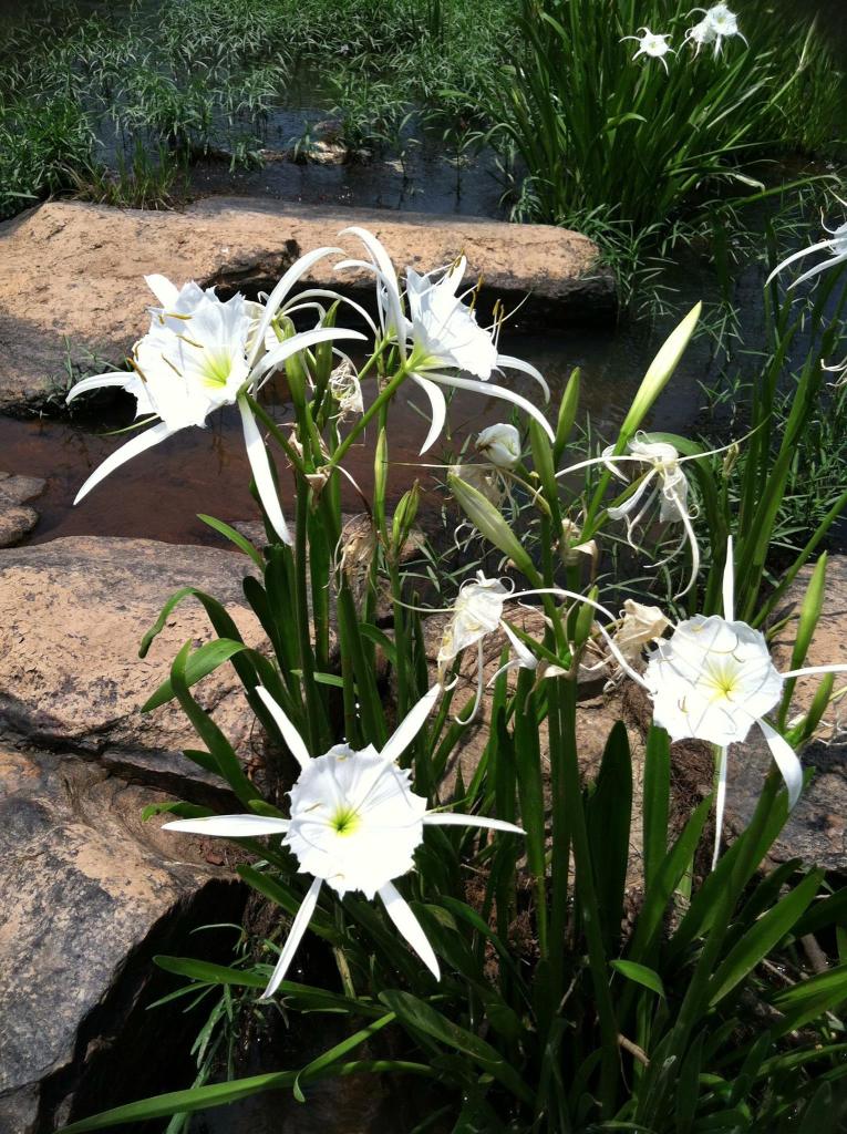
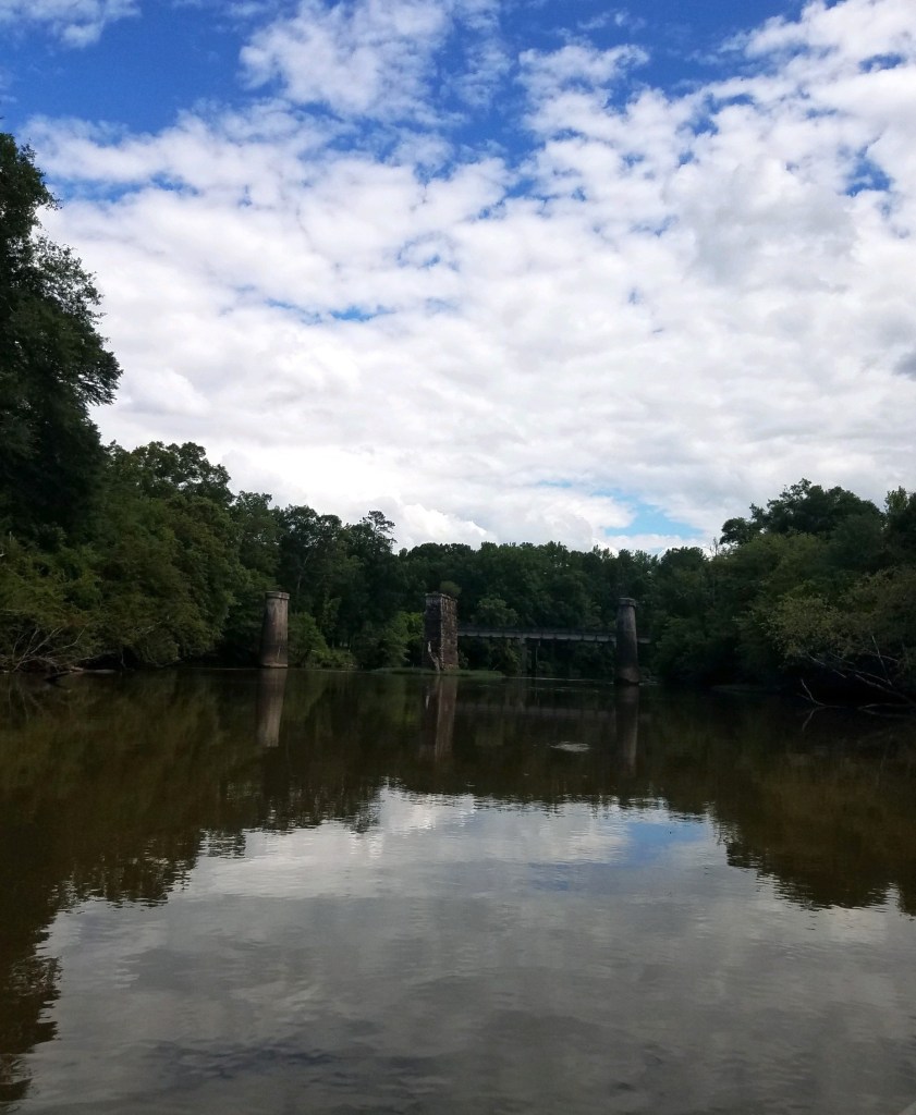
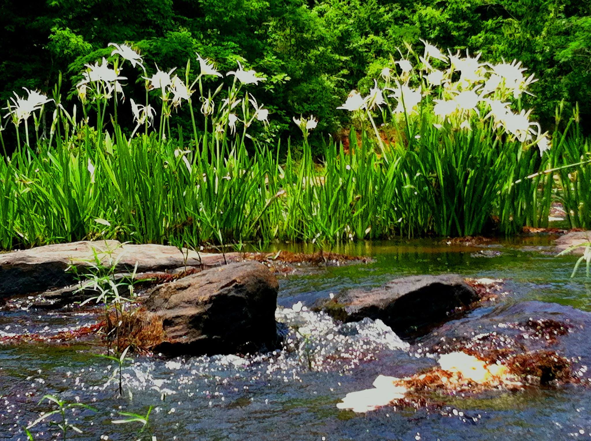
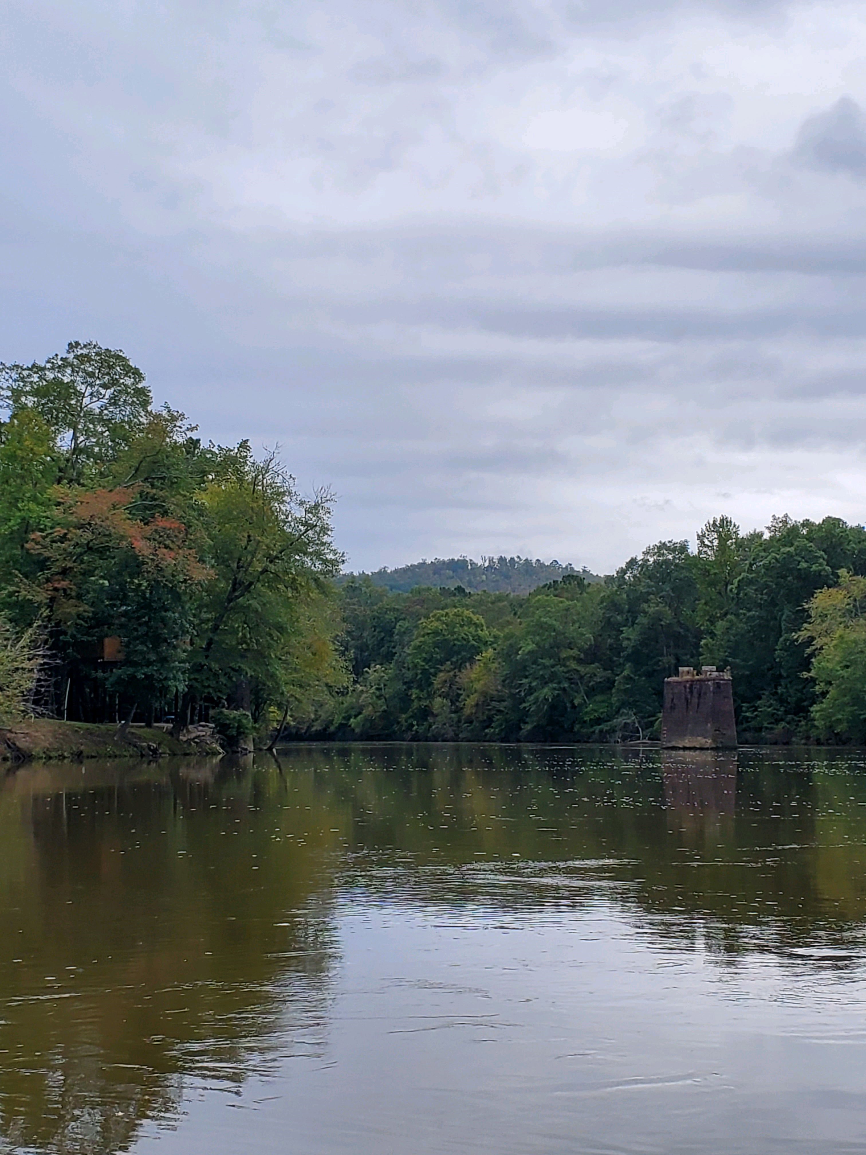
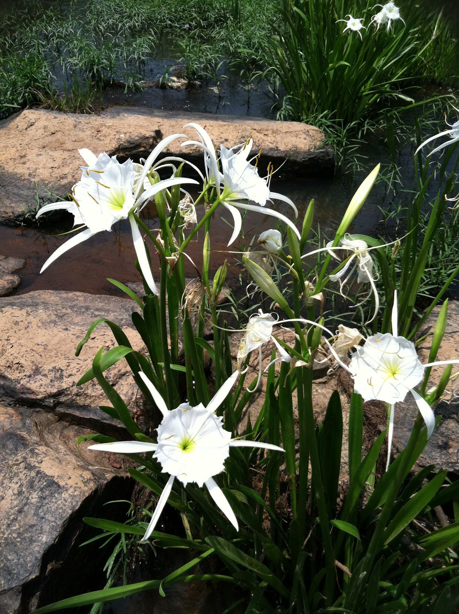
Lower Meriwether – traveling through the Pine Mountain range, the river becomes an ecological journey. Rich in plant life including Spider lilies, greenfly orchids, corkwood and needle palm, and rare relict trillium, add to that, numerous species of fish, including the notable river shoal bass (which is now an internationally famed sport fish) and a diverse selection of amphibians, turtles, and native mussel – you will see artifacts along the way including abandoned train trestles, old bridge pilings, and a variety of shoal and Native American fish weirs.
Meriwether’s Flint River is truly a great experience to explore!
Where is the Flint River Water Trail?
Meriwether County (Upper Flint)
As you can see on the map below, there are 4 primary Entry/Exit points to the Water Trail in Meriwether County.
From North to South, here are links to the location of these entry/exit points on Google Maps:
Entry/Exit Point #1 – Near Mile Marker 290
Location: Joe Kurtz Boat Ramp
Entry/Exit Point #2 – Near Mile Marker 277
Location: Near the Intersection of Woodbury Road and River Cove Road
Entry/Exit Point #3 – Near Mile Marker 274
Location: Near Cane Creek and Dripping Rock Road
Entry/Exit Point #4 – Near Mile Marker 267
Location: Sprewell Bluff/Old Alabama Road

Upson County
There are 5 primary Entry/Exit points to the Water Trail in Upson County, GA.
From North to South, here are links to the location of these entry/exit points on Google Maps:
Camp Thunder
Location: 166 Dripping Rock Rd, Molena, GA
Sprewell Bluff Park
Location: 32°51’10.4″N 84°28’51.8″W
HWY 36
Location: 32°50’19.8″N 84°25’27.3″W
Pobiddy Road
Location: 32°46’36.0″N 84°22’11.2″W
Southern HWY 19 Ramp
Location: 32°43’19.4″N 84°13’55.0″W


Partners for the Flint River Water Trail in Meriwether County
This project was made possible through a grant from the Georgia Department of Economic Development, Tourism Product Development.
To view the Resolution to Support the Flint River Trail in Meriwether County, click here.
The Georgia River Network
The Georgia River Network is the voice of Georgia’s rivers, helping everyone enjoy, connect with, and advocate for, economically vital and clean flowing rivers. The organization strives to be the hub that connects people to rivers, watershed groups, related resources, and other members of the network so they can be effective advocates. Water policy is one of their strong advocacy efforts to ensure strong protections for Georgia’s rivers https://garivers.org/
Flint Riverkeeper
The mission of Flint Riverkeeper® is to restore and preserve the habitat, water quality, and flow of the Flint River for the benefit of current and future generations and dependent wildlife. Since 2008 volunteers and professional staff have diligently worked to ensure enough clean water for all uses in the river, natural and human, from the headwaters north of the Atlanta airport to the Florida line. https://flintriverkeeper.org/
Georgia Wildlife Federation
GWF’s work in advocacy, education, and conservation has shaped every aspect of Georgia’s diverse natural landscape, from the mountains to the coast, since 1936. As the state’s oldest member-supported conservation organization, GWF has built a reputation for conservation success equal to our experience. With the hard work and support of our members, GWF is ensuring the legacy we leave to future generations is one of which we can all be proud. Learn more at https://gwf.org/
Website by Winnona Partners
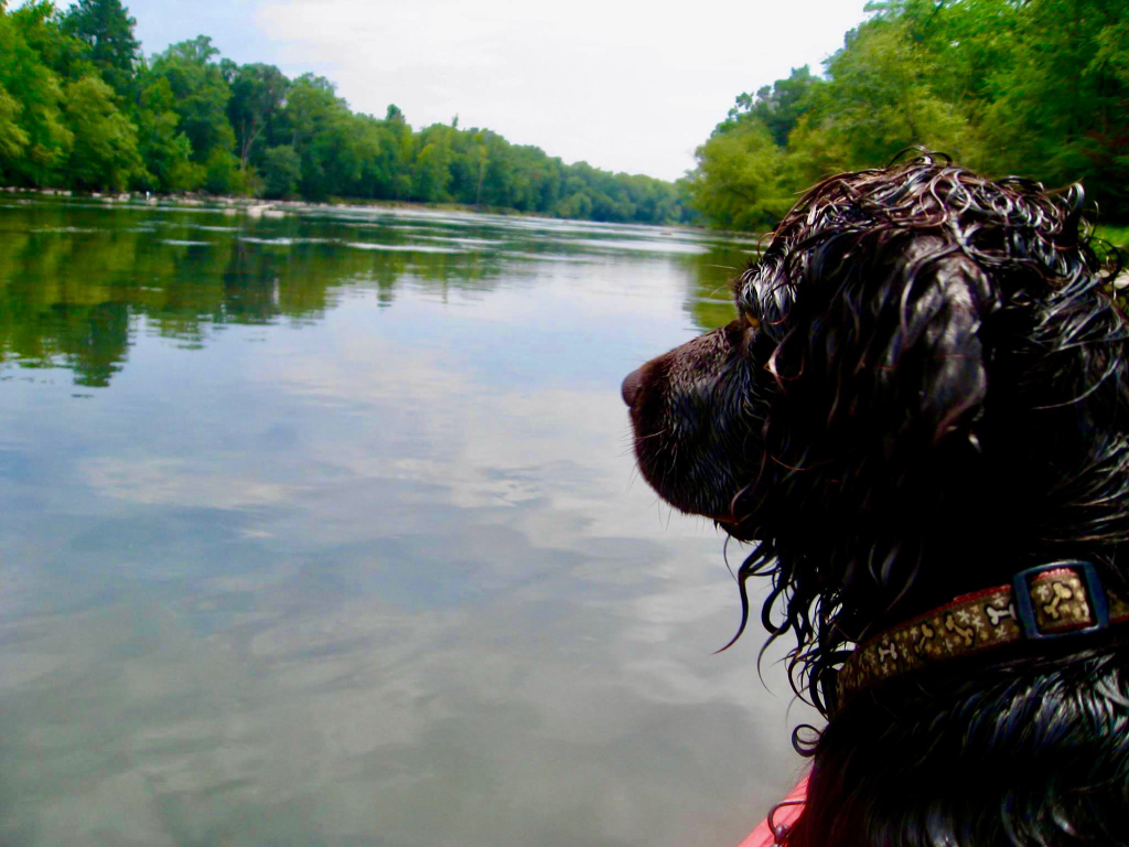
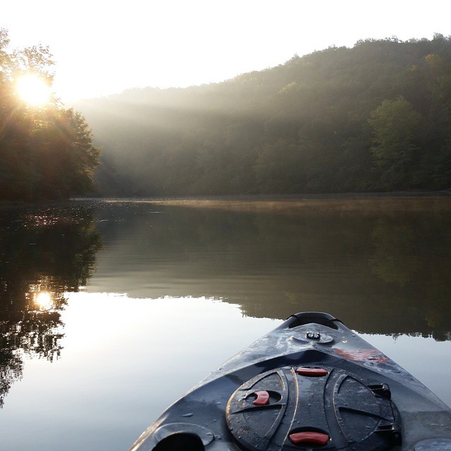
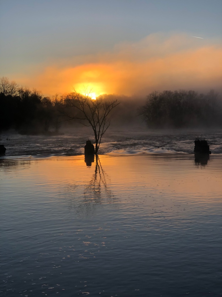
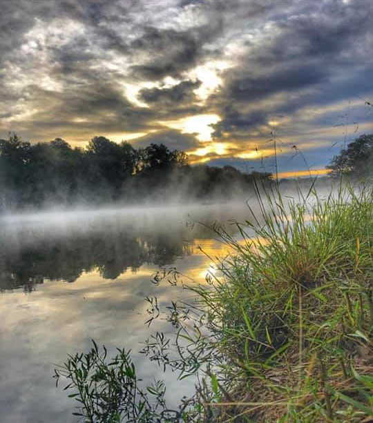
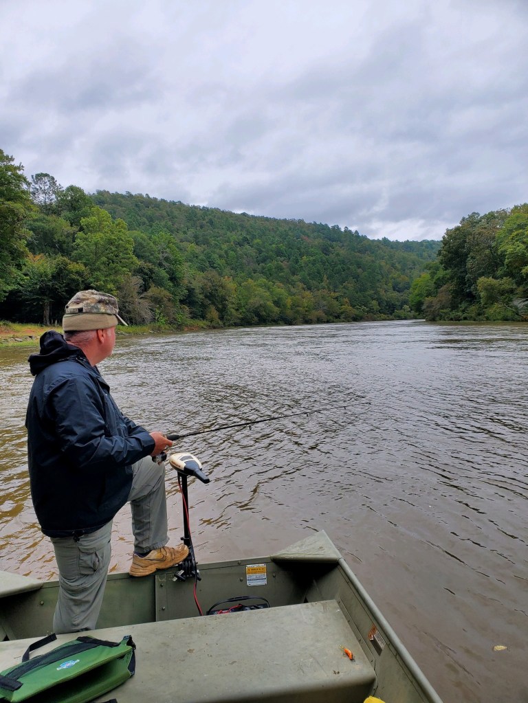
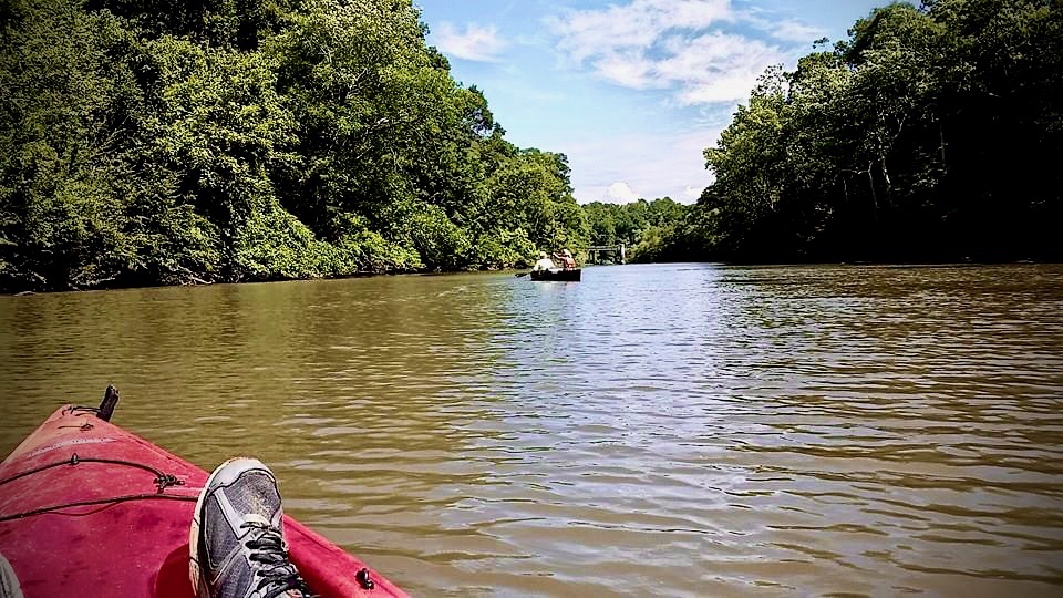
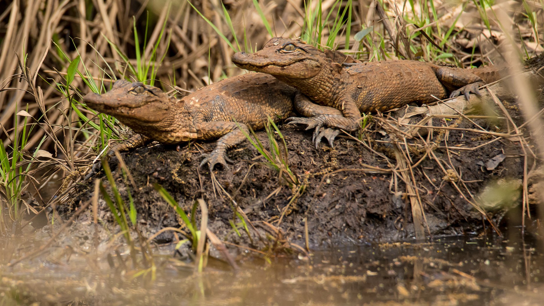
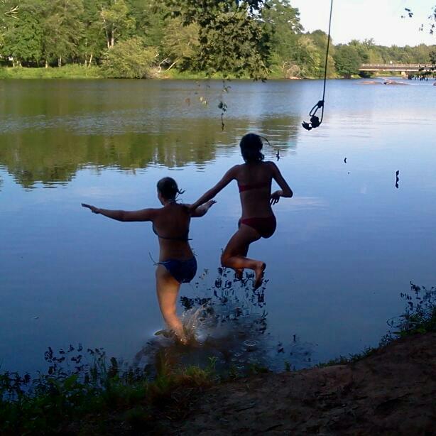
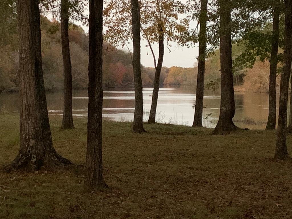
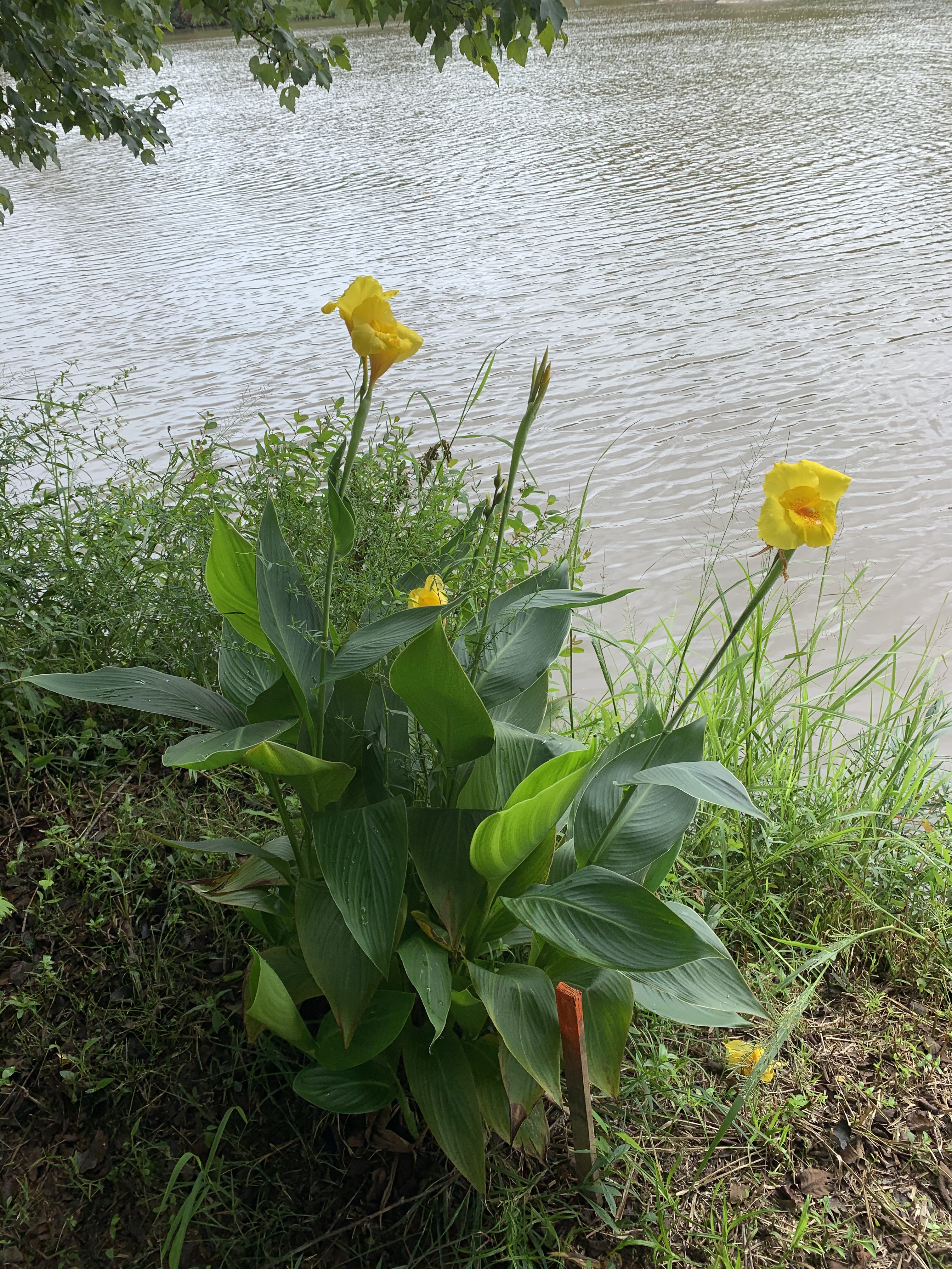
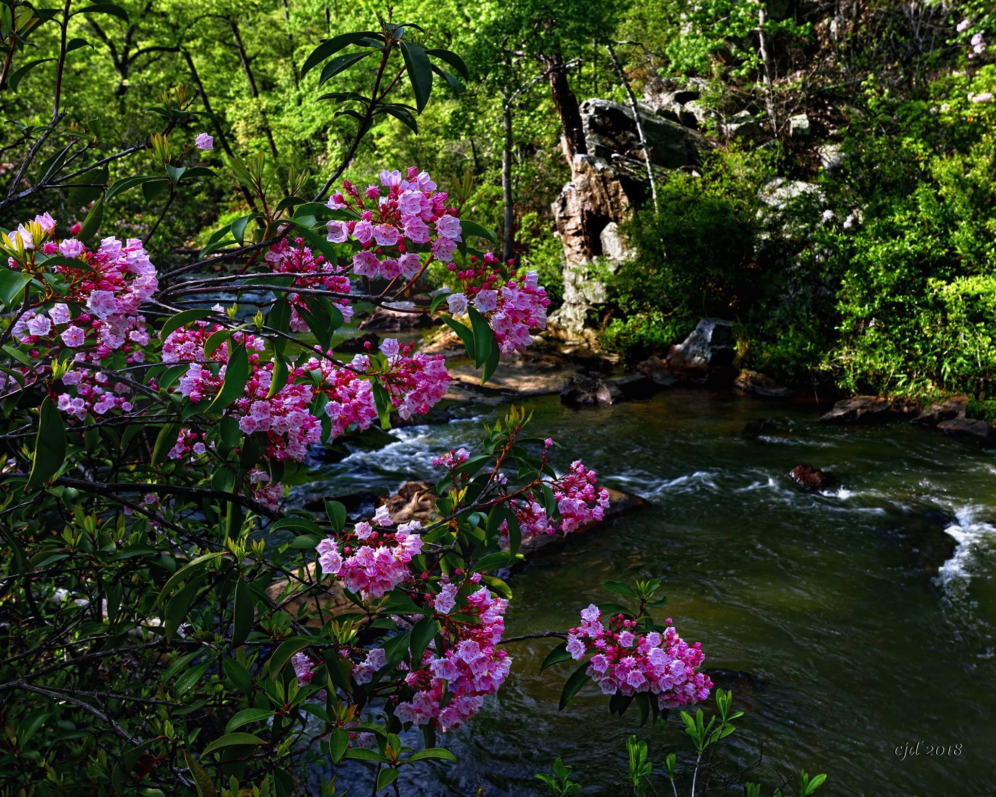
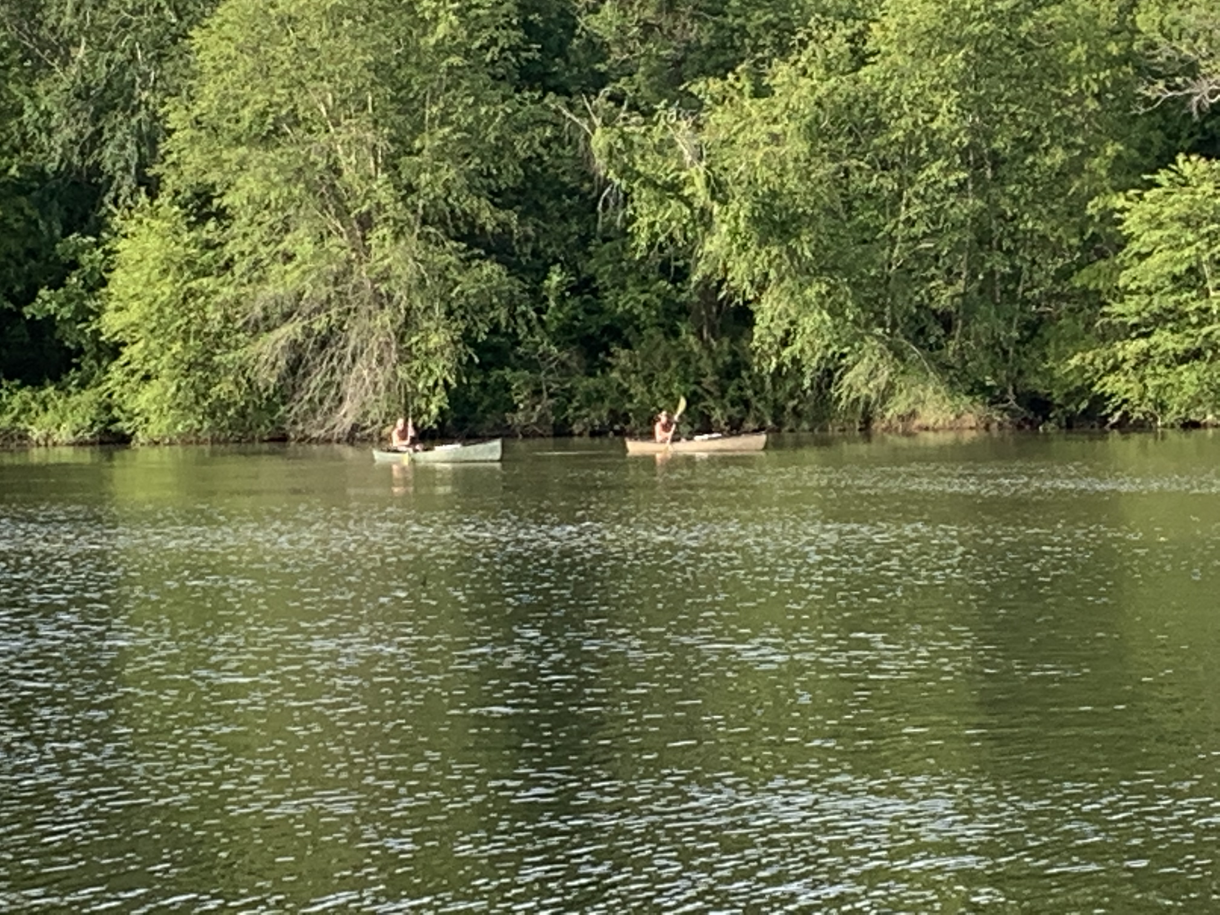
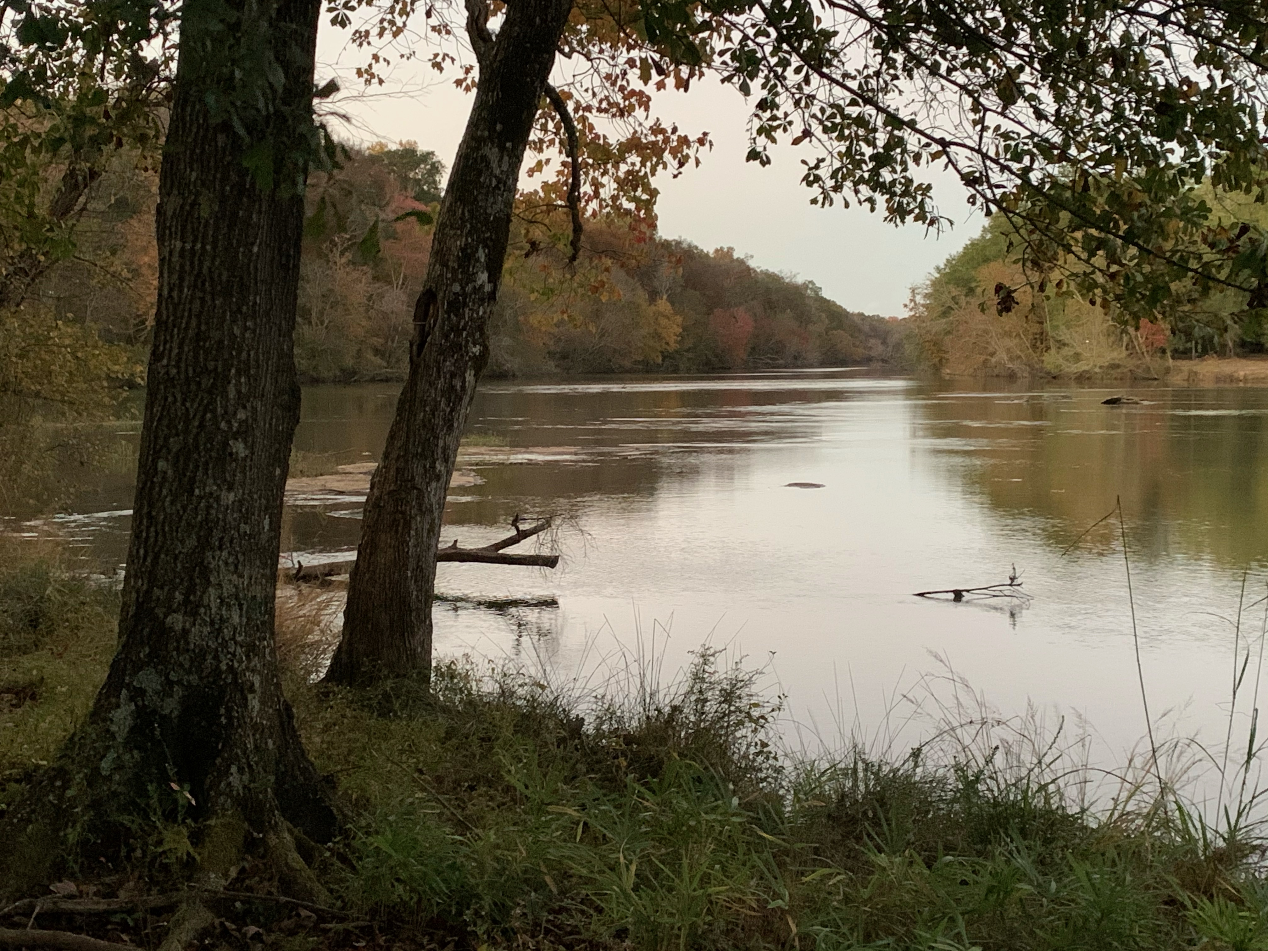
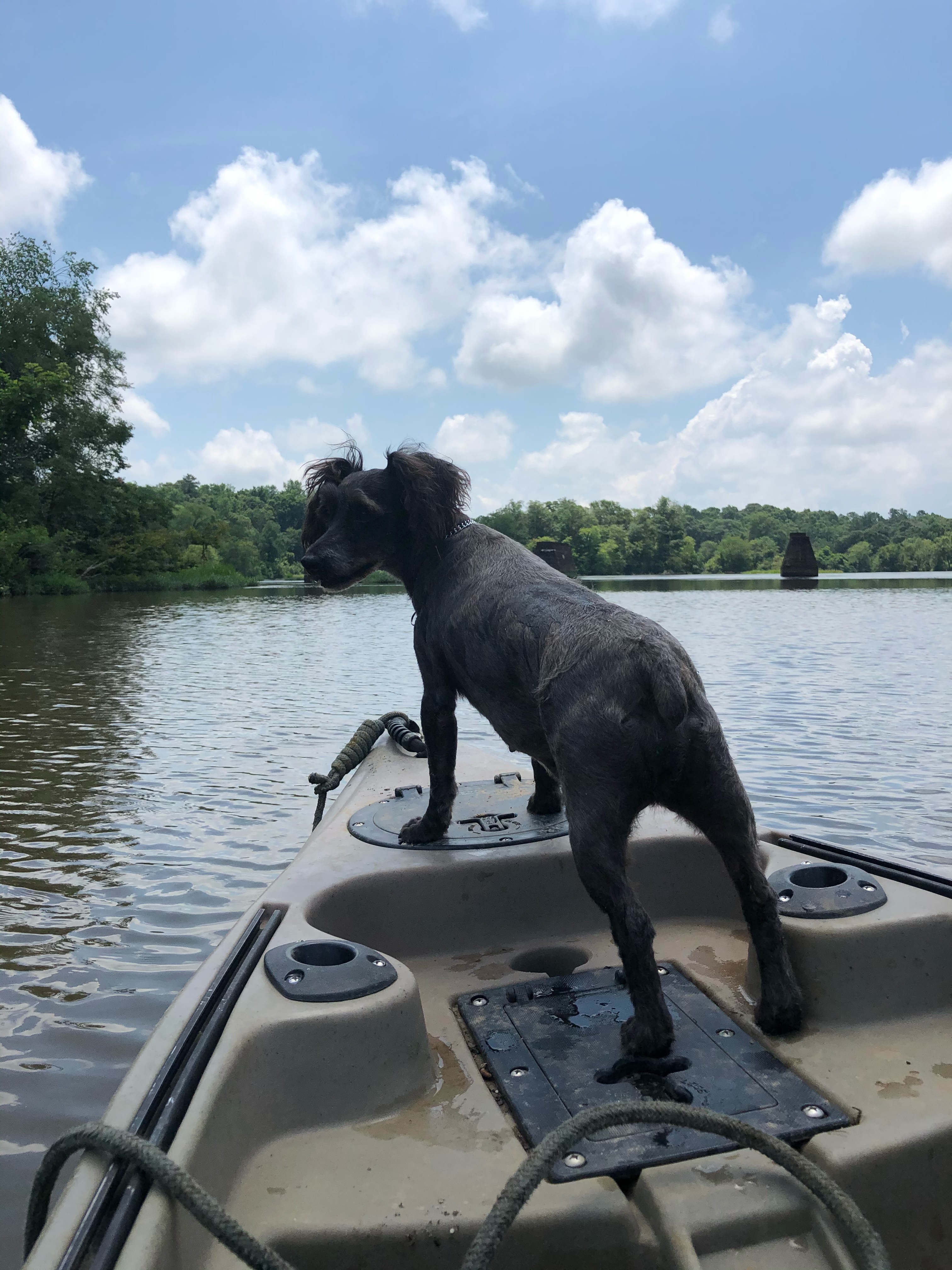
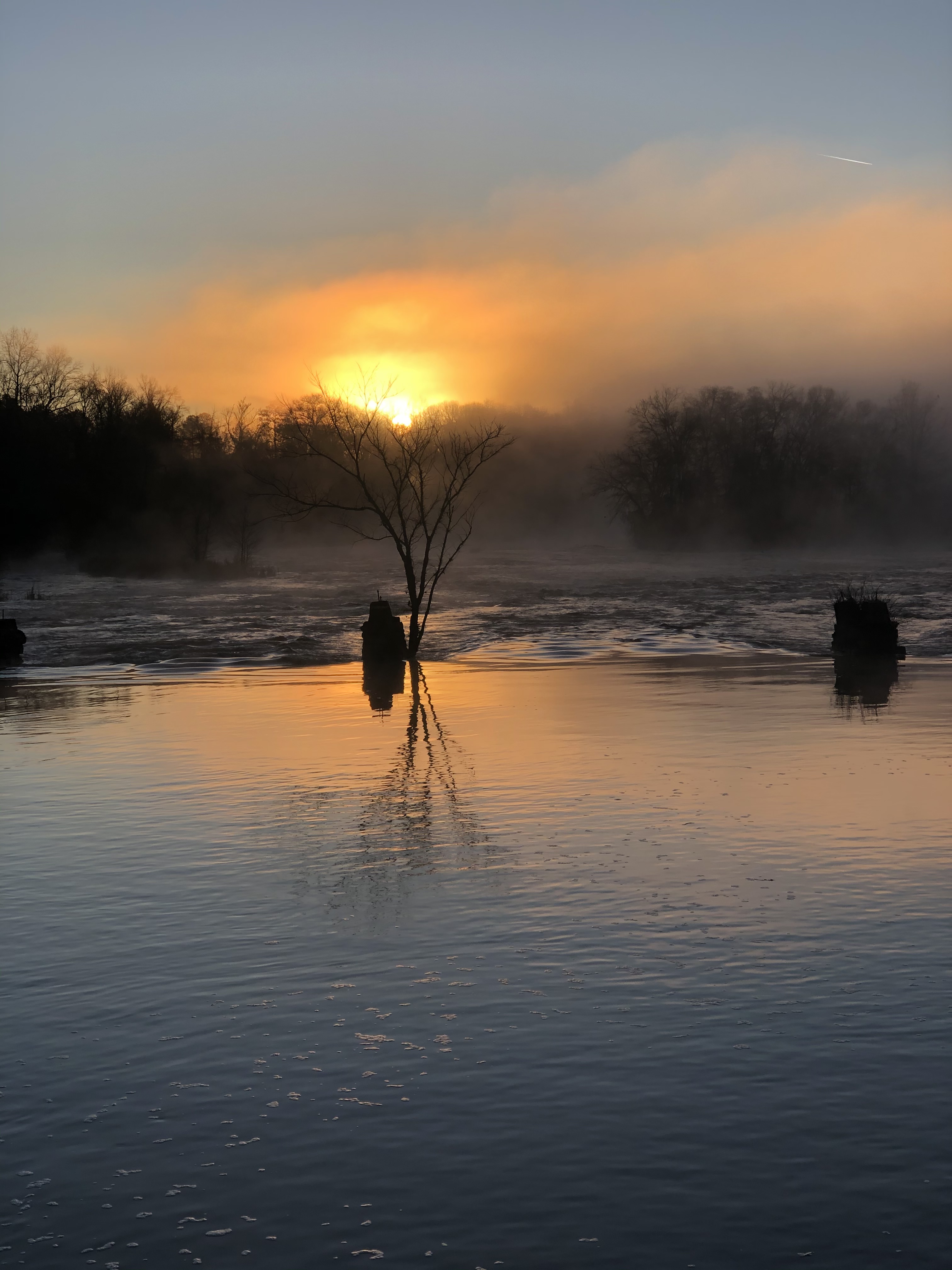
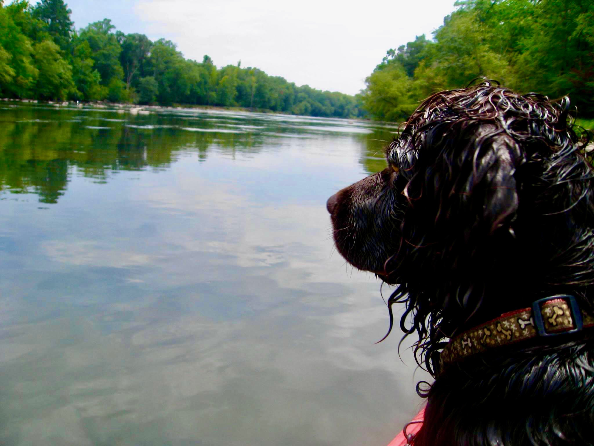
Gallery


SAFETY & EMERGENCY TIPS
- Wear Your Life Jacket at all Times!
- Protect your feet
- Watch and Avoid Strainers (Avoid downed trees and other debris along the shore)
- Know the River
- Know Your Boat (Understand how to operate your canoe, kayak, paddleboard, or motorized vessel)
- In the event of an emergency, call 911 or the Meriwether County Sheriff’s Office at 706-672-3809. If possible, advise them of your location on the river.
