The Flint River Water Trail runs through the some scenic and beautiful areas in Upson County, GA. From North to South, here are Google Map links the five Entry/Exit points in Upson County.
Entry and Exit Points
Camp Thunder
Location: 166 Dripping Rock Rd, Molena, GA
Sprewell Bluff Park
Location: 32°51’10.4″N 84°28’51.8″W
HWY 36
Location: 32°50’19.8″N 84°25’27.3″W
Pobiddy Road
Location: 32°46’36.0″N 84°22’11.2″W
Southern HWY 19 Ramp
Location: 32°43’19.4″N 84°13’55.0″W
Map
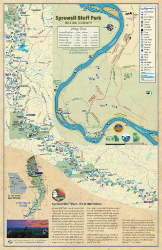
Wondering if it’s safe to go out on the water today? You can get the Flint River’s current water level reading from this meter near Thomaston, GA.
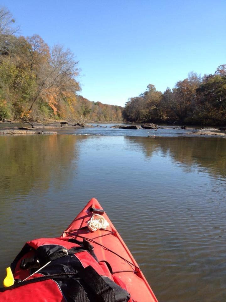
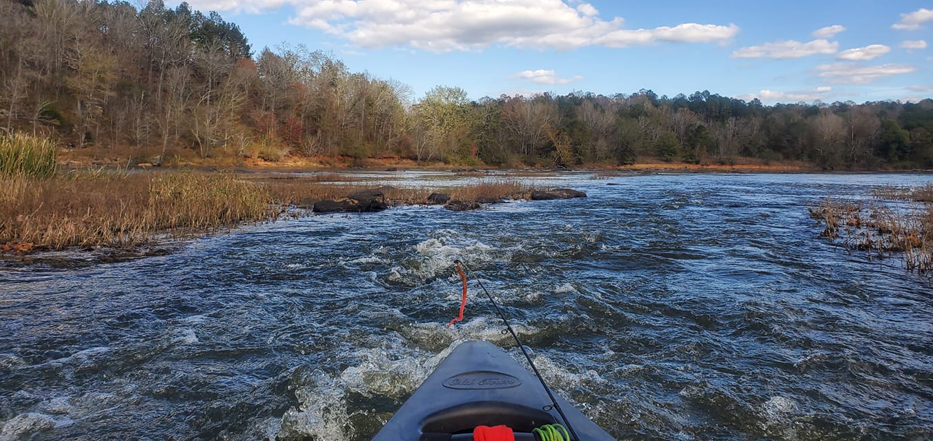
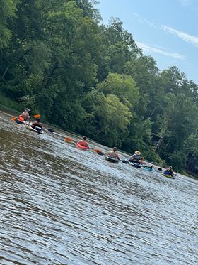
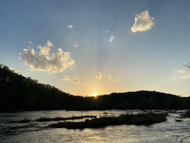
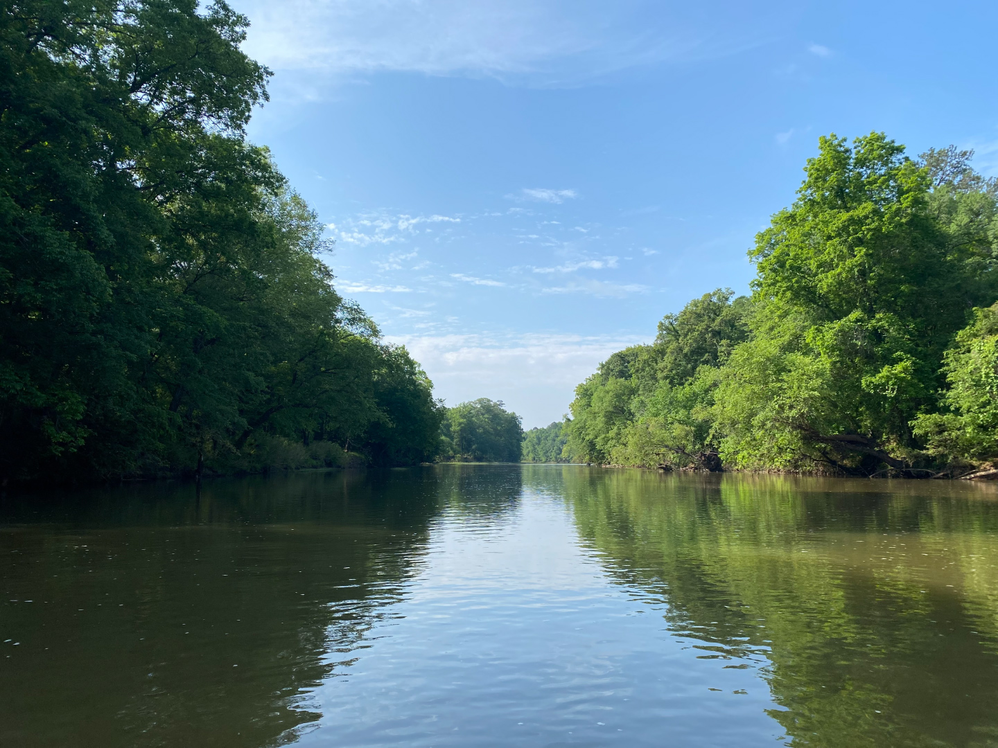
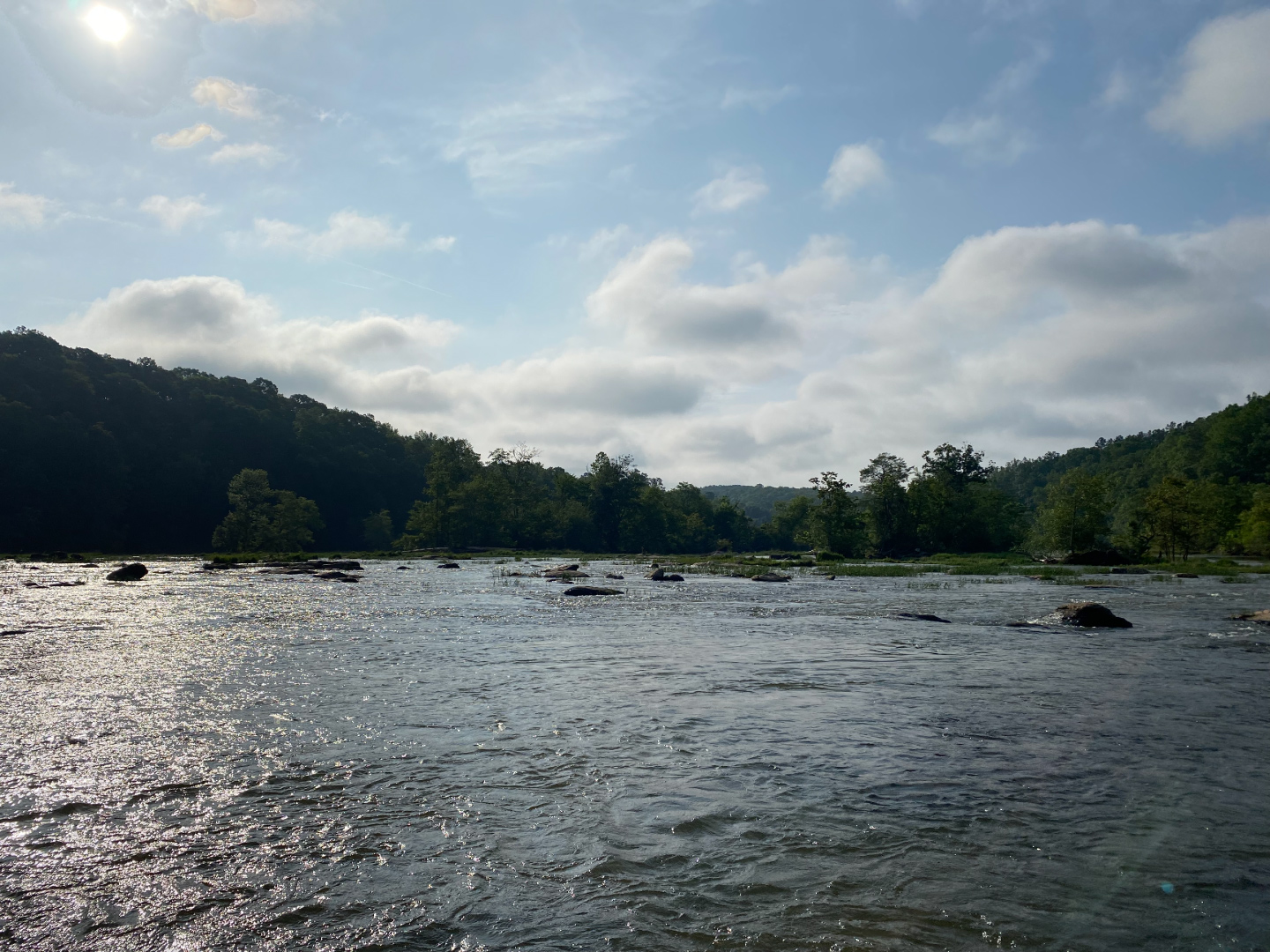
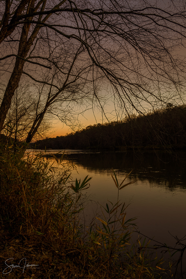
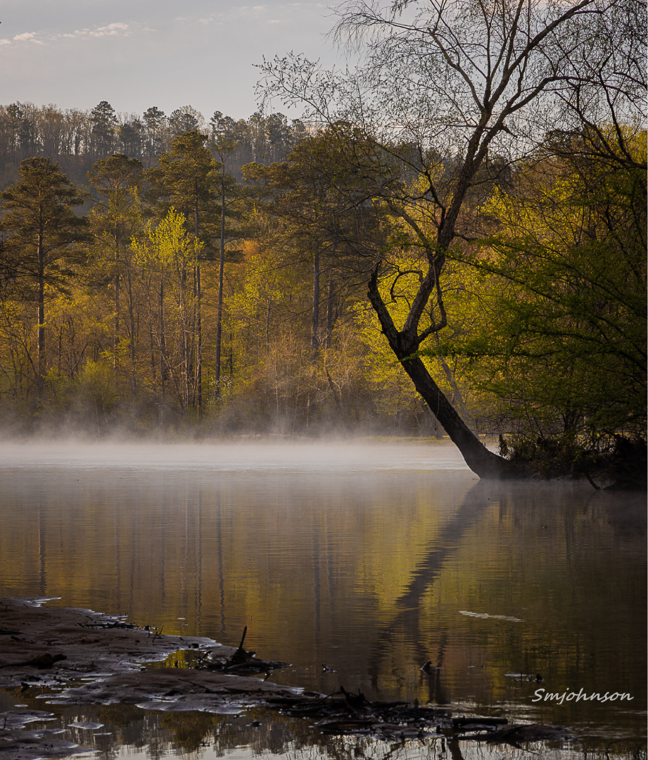
Gallery
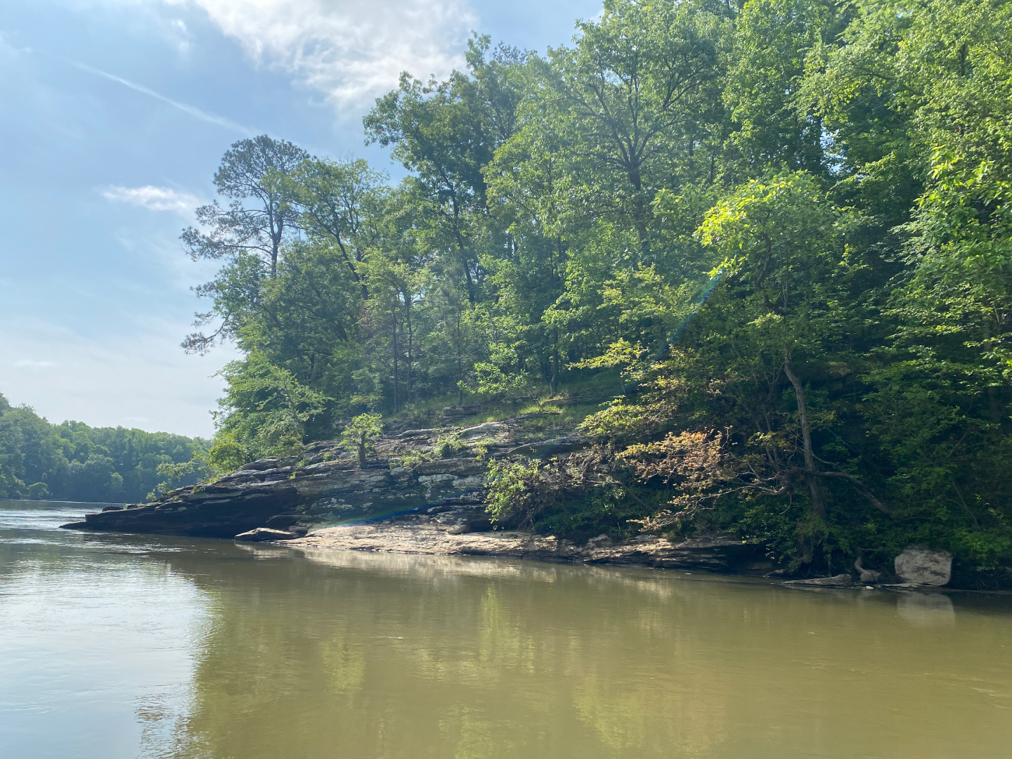
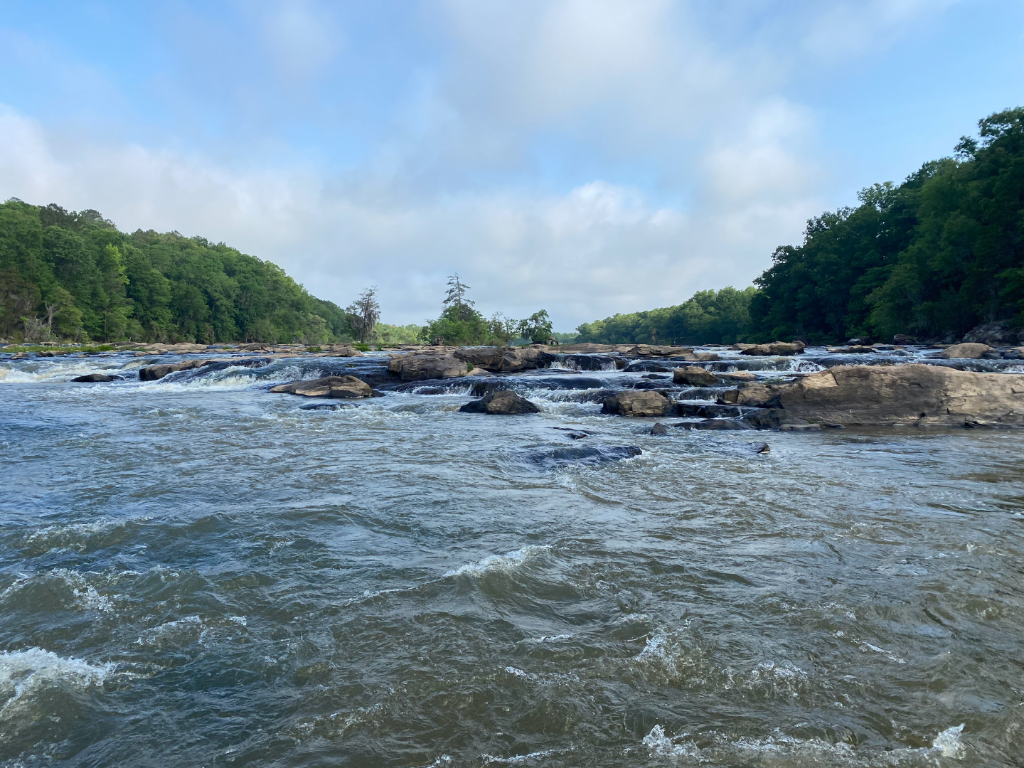
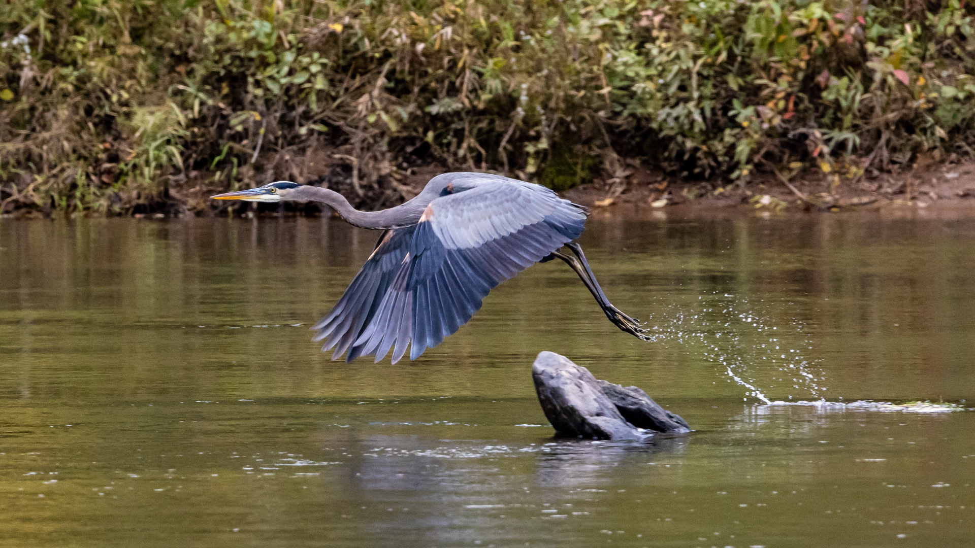
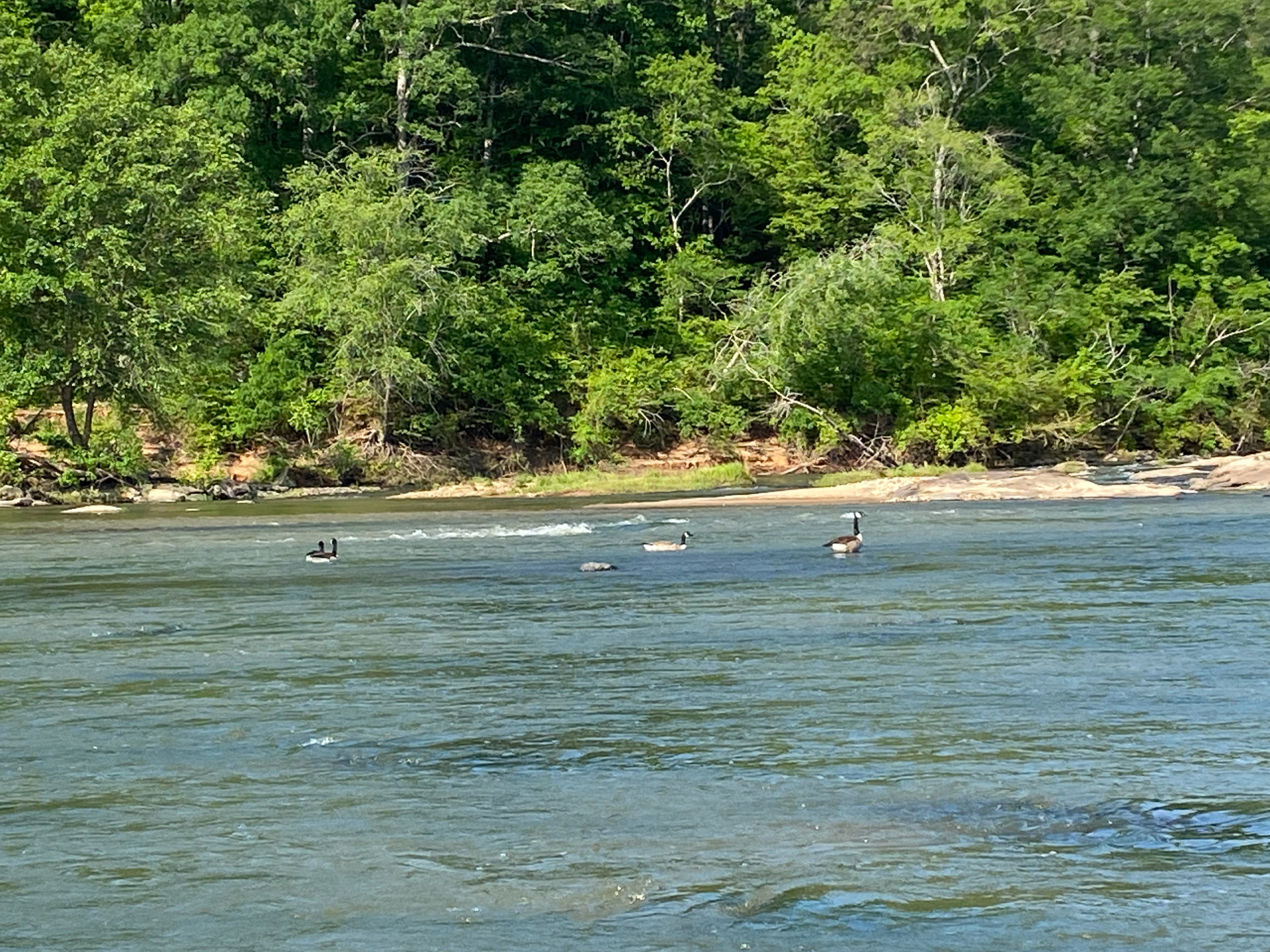
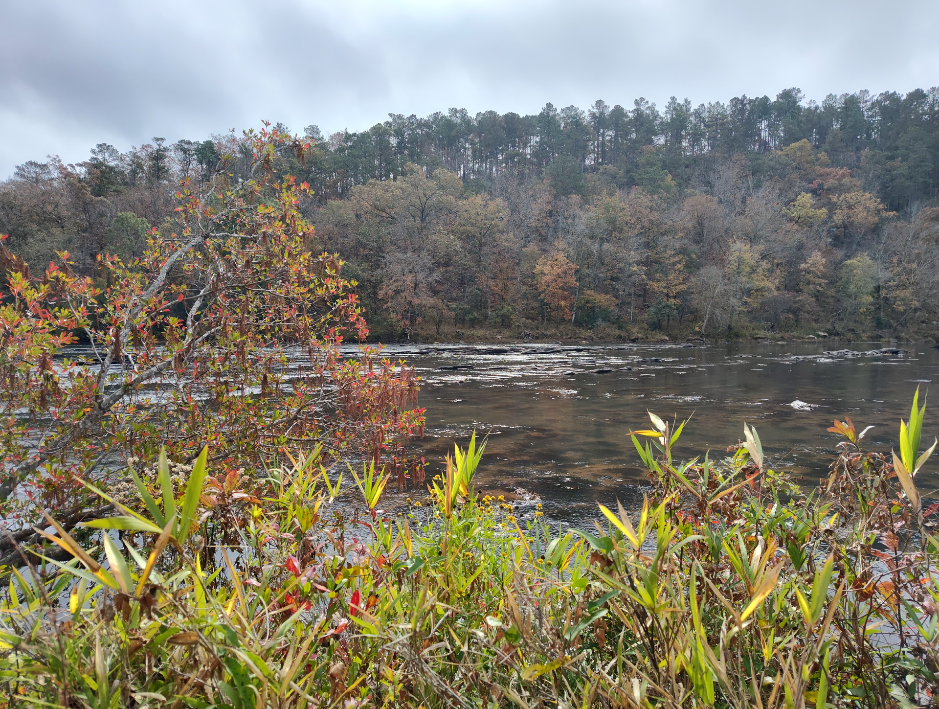
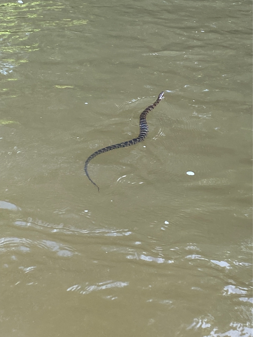
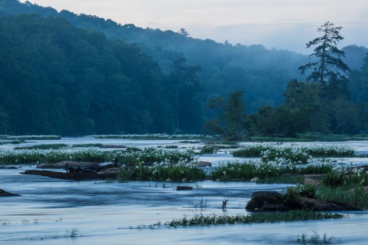
The gallery of images below is just a glimpse of the beauty you can experience on the Flint River Water Trail in Upson County. Special thanks to all everyone in our community who contributed these gorgeous photos!